Most global travel coverage relies on self-reinforcing algorithms: the more a spot is photographed, the more infrastructure is built to support visitors, until its authentic wilderness character is permanently diluted. These destinations represent the antidote—regions where logistics are complex, access is physically taxing, and nature operates without human accommodation.
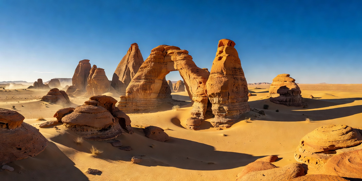
Ennedi Plateau, Chad
Coordinates: 17°03′N 21°51′E
Access: 4-Day Off-Road Convoy
The Sandstone Castles of Ennedi
Situated in northeastern Chad, surrounded by the scorched sands of the Sahara, the Ennedi Plateau forms a colossal natural fortress of carved sandstone towers, monumental arches, and isolated water canyons known as gueltas. For thousands of years, nomadic pastoralists have moved through these narrow defiles, leaving vibrant rock paintings depicting prehistoric cattle, giraffes, and human ceremonies that date back seven millennia.
At Guelta d'Archei, sheer black rock cliffs plunge into a deep canyon pool stained dark by hundreds of years of camel droppings. In this murky, oxygen-depleted basin survives one of the last relic populations of Saharan dwarf crocodiles—isolated here since humid Holocene climate phases faded away into desert.
Expedition Realities: Reaching the Ennedi requires a self-sustained expedition carrying all diesel, water, spare tires, and satellite uplinks from N'Djamena. There is no roadside assistance, no medical clinics, and temperatures fluctuate by 35°C between solar noon and midnight.
Mutnovsky Volcano, Russia
Elevation: 2,322 m
Mutnovsky Crater & Ice Caves
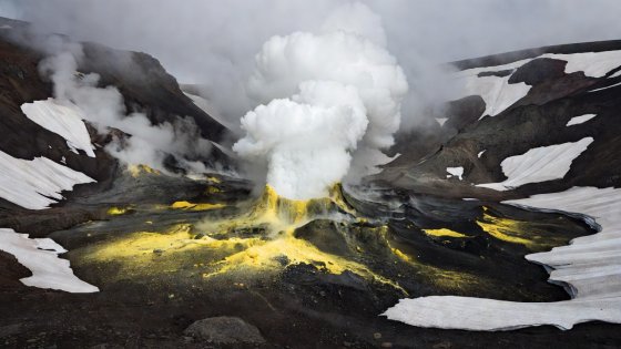
Unlike conventional conical volcanoes, Mutnovsky is a fractured complex of overlapping craters blasting superheated sulfur gas directly into ancient sub-glacial chambers. Meltwater carve glowing green and neon amber ice caverns underneath glacial blankets. Walking inside requires continuous sulfur gas monitoring and crampons on frozen scree.
Key Threat: Sudden ceiling collapses caused by thermal fluctuations; toxic pockets of invisible carbon dioxide in lower crater hollows.
The Tarkine, Tasmania
Biome: Gondwana Temperate Rainforest
The Takayna Interior
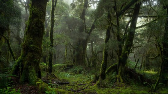
The Tarkine wilderness in northwestern Tasmania constitutes one of the largest temperate rainforest expanses on Earth. Dominated by ancient myrtle beech, leatherwood, and giant tree ferns, the interior has no maintained tracks. Navigators face tangled horizontal scrub, bottomless peat bogs, and swollen tannin-stained rivers.
Key Threat: Severe disorientation in featureless moss-draped canopy; hypothermia driven by sudden Southern Ocean cold fronts.
Zanskar Valley, Ladakh
Elevation: 3,500 m
The Chadar Ice Route
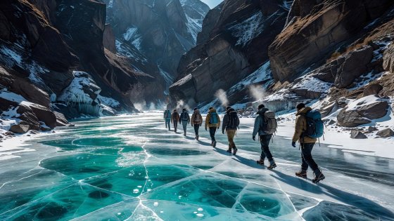
During winter months, heavy snow cuts off all high mountain passes into Ladakh's Zanskar region. The sole transit corridor becomes the frozen surface of the Zanskar River itself. Travelers march across varying sheets of translucent ice over raging sub-zero waters where ice plates break, buckle, and reform within hours.
Key Threat: Falling through fragile river sheet into raging glacial current; extreme hypothermia within seconds of immersion.
Skeena Mountains, British Columbia
Terrain: Unmapped Glacial Cirques
The Omenica & Skeena Divide
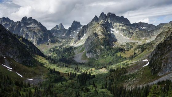
A jagged labyrinth of granite spires and nameless alpine lakes deep in northern British Columbia. Bush planes on floats provide access to unnamed lakes, after which expeditions must bushwhack through impenetrable devil's club and cross unbridged glacial torrents while coexisting with grizzly bears.
Key Threat: Absolute self-reliance required; air extraction can be delayed for up to ten days during Pacific storm cycles.